
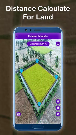
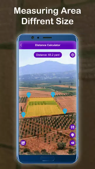
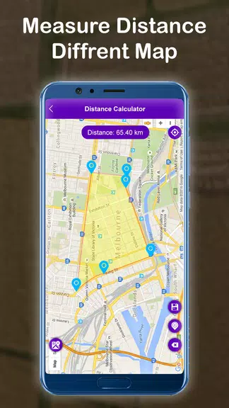
Introducing the incredible GPS Distance Land Area Measure! This handy tool allows you to accurately calculate GPS area and distance, as well as measure the size of any area with ease. With features such as easy point-to-point measurements, the ability to save and edit measurements, and the option to switch between map views, this app is perfect for anyone needing accurate measurements for land or area. Explore the world around you, measure distances between points, and conveniently save your measurements for future reference. Download GPS Distance Land Area Measure now and never struggle with measurements again!
Features of GPS Distance Land Area Measure:
- Measure land area and distance accurately with GPS technology
- Easily save and edit measurements with images
- Locate Points of Interest (POI) and save their coordinates
- Switch between different map views for convenience
Playing Tips:
- Use the app to measure and save the size of any area effortlessly
- Discover the distance between two points with manual or GPS methods
- Save measurements by importing photos for easy tracking
- Easily locate and save Points of Interest for future reference
- Switch between map views to customize your experience
Conclusion:
Make your land area and distance measurements accurate and efficient with GPS Distance Land Area Measure. With user-friendly features like saving measurements, editing saved data, and locating important points of interest, this app is a must-have for anyone needing precise measurements. Download GPS Distance Land Area Measure now to make measuring distances and areas a breeze!
Additional APP Information
Version
13.0
Size
16.7M
Language
English
Rating
4.3
Package Name
alana.maparea.measure.geo
Developer
Alana Robins


")


